
The ubiquitous Global Positioning System (GPS), a cornerstone of modern navigation and timing, is facing critical challenges that necessitate a fundamental reassessment of our reliance on it. A recent episode of BBC Inside Science delves into the growing vulnerabilities of this essential technology, highlighting threats ranging from geopolitical interference to cosmic phenomena, and exploring the urgent need for more resilient navigation solutions.
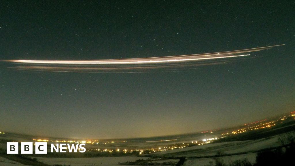
The primary concern articulated in the episode stems from an alarming warning issued by 14 European countries, indicating that "maritime safety and security" is being severely compromised by external interference, particularly from Russia. This interference manifests in two insidious forms: ‘spoofing’ and ‘jamming.’ Jamming involves the deliberate emission of powerful radio signals designed to overwhelm or block legitimate GPS signals, effectively blinding a receiver to its true location. Imagine a cacophony of noise drowning out a crucial instruction, leaving vessels, aircraft, and even ground vehicles adrift without precise positional data. Spoofing, on the other hand, is a more sophisticated and deceptive attack. It involves broadcasting fake GPS signals that trick receivers into believing they are at a different location or moving at a different velocity than they actually are. This can lead to catastrophic consequences, such as ships veering off course, entering hazardous zones, or even colliding, all while their onboard navigation systems report ostensibly normal operation.
Ramsey Faragher, CEO of the Royal Institute of Navigation (RIN), an authoritative voice in the field, underscores the gravity of the situation. He stresses that our current singular dependence on GPS for critical applications has created a dangerous single point of failure. Faragher’s insights reveal that while GPS offers unparalleled convenience and precision, its susceptibility to these deliberate disruptions makes it an unreliable sole arbiter of position, navigation, and timing (PNT). The implications for the maritime sector are particularly acute. Commercial shipping, including vast container vessels, oil tankers, and passenger cruise liners, relies heavily on GPS for route optimization, collision avoidance, and precise port approaches. Disruptions can lead to massive economic losses, environmental disasters from groundings or spills, and tragically, loss of life. Beyond civilian shipping, naval operations are also at risk, potentially compromising strategic movements and national security. The warning from the European nations highlights a collective recognition that this is not merely a technical issue, but a geopolitical and safety imperative demanding immediate and coordinated international action.
The call to "rethink" navigation systems is not about abandoning GPS entirely, but rather about integrating it into a more robust, multi-layered framework. Experts advocate for the development and widespread adoption of resilient PNT infrastructure that incorporates redundancy and diversity. One promising alternative is Enhanced Long Range Navigation (eLoran), a terrestrial, high-power radio navigation system. Unlike satellite-based GPS, eLoran signals are significantly more difficult to jam or spoof due to their high power and different frequency spectrum, offering a vital, independent backup, especially for maritime and aviation applications. Other complementary technologies include Inertial Navigation Systems (INS), which use accelerometers and gyroscopes to track position independently, though they accumulate error over time. Ancient methods like celestial navigation, utilizing stars and the sun, also retain their value as manual backups, reinforcing the idea that a combination of old and new technologies can create a more secure navigation landscape.
Beyond human-made threats, the cosmos itself poses a significant, albeit natural, risk to our delicate technological infrastructure. Solar storms, powerful eruptions from the sun, have the potential to severely disrupt navigation systems on Earth. These phenomena primarily take two forms: solar flares, intense bursts of radiation that travel at the speed of light, reaching Earth in minutes and causing immediate radio blackouts; and Coronal Mass Ejections (CMEs), massive expulsions of plasma and magnetic fields that travel slower but carry immense energy. When a CME impacts Earth’s magnetic field, it triggers a geomagnetic storm.

The impact of these solar events on navigation is multi-faceted. GPS satellites themselves, orbiting in space, are vulnerable to radiation damage from solar storms, which can degrade their electronics, reduce signal quality, or even temporarily knock them offline. More critically, geomagnetic storms significantly disturb the Earth’s ionosphere – the layer of the upper atmosphere through which GPS signals must travel. These disturbances cause GPS signals to scatter, delay, or be completely absorbed, leading to substantial positioning errors or complete loss of signal. The consequences extend beyond navigation, as extreme geomagnetic storms can induce powerful currents in long power lines, potentially tripping circuit breakers and causing widespread electrical blackouts, as seen in Quebec in 1989. Even high-frequency radio communications, often used as a backup by ships and aircraft, can be severely disrupted.
To mitigate these cosmic threats, early warning systems are paramount. Professor Tim Horbury and Helen O’Brien at Imperial College London are at the forefront of this crucial research. Their team has developed sophisticated instruments for the Solar Orbiter probe, a joint mission by the European Space Agency (ESA) and NASA. Speeding through space, Solar Orbiter is designed to study the sun and the inner heliosphere from an unprecedented proximity. By observing the sun from different perspectives and collecting data on solar wind, flares, and CMEs before they impact Earth, the probe provides scientists with invaluable early warnings – sometimes days in advance. This lead time is critical, allowing for the implementation of mitigation measures such as reorienting satellites, preparing power grids for potential surges, and issuing advisories to navigators, thereby protecting our increasingly space-dependent infrastructure. The work of Horbury and O’Brien underscores the growing importance of space weather forecasting, which is becoming as vital to modern society as terrestrial weather prediction.
Science journalist Caroline Steel, in the same episode, brings to light the latest scientific research that seeks to address these navigation challenges head-on. One of the most promising frontiers is quantum navigation. Unlike traditional GPS which relies on external satellite signals, quantum navigation aims to leverage fundamental principles of quantum mechanics for unparalleled precision and autonomy. Researchers are developing ultra-precise portable atomic clocks that could provide highly accurate timing independent of external signals, vital for advanced inertial systems. Furthermore, the development of quantum sensors, such as quantum accelerometers and gyroscopes, promises orders of magnitude greater sensitivity and stability than conventional devices. These advancements could pave the way for drift-free inertial navigation for extended periods, offering an unjammable, unspooable, and highly precise alternative or complement to GPS, particularly in environments where satellite signals are compromised or unavailable.
Artificial intelligence (AI) is also being leveraged to create more robust and resilient Position, Navigation, and Timing (PNT) systems. AI algorithms are designed to fuse data from multiple disparate sources – not just GPS, but also eLoran, Wi-Fi signals, cellular networks, visual sensors, and inertial systems – to provide a continuous, accurate position estimate even when some inputs are degraded or unavailable. Machine learning capabilities enable these systems to detect anomalies characteristic of jamming or spoofing attempts in real-time, allowing for immediate switching to alternative navigation modes or alerting operators to potential threats. This intelligent integration of diverse data streams promises a future where navigation systems are far more resilient to both deliberate attacks and natural phenomena.
The discussions on BBC Inside Science collectively reveal that while GPS has undeniably revolutionized our world, its inherent vulnerabilities, both from human malicious intent and cosmic forces, demand urgent and innovative attention. The insights from experts like Ramsey Faragher, Tim Horbury, and Helen O’Brien, alongside the cutting-edge research highlighted by Caroline Steel, emphasize the critical need for a diversified, redundant, and resilient approach to navigation in the 21st century. For those keen to delve deeper into these fascinating scientific frontiers and understand the ongoing efforts to secure our navigational future, the BBC website offers extensive resources, including links to The Open University for further exploration of science content.