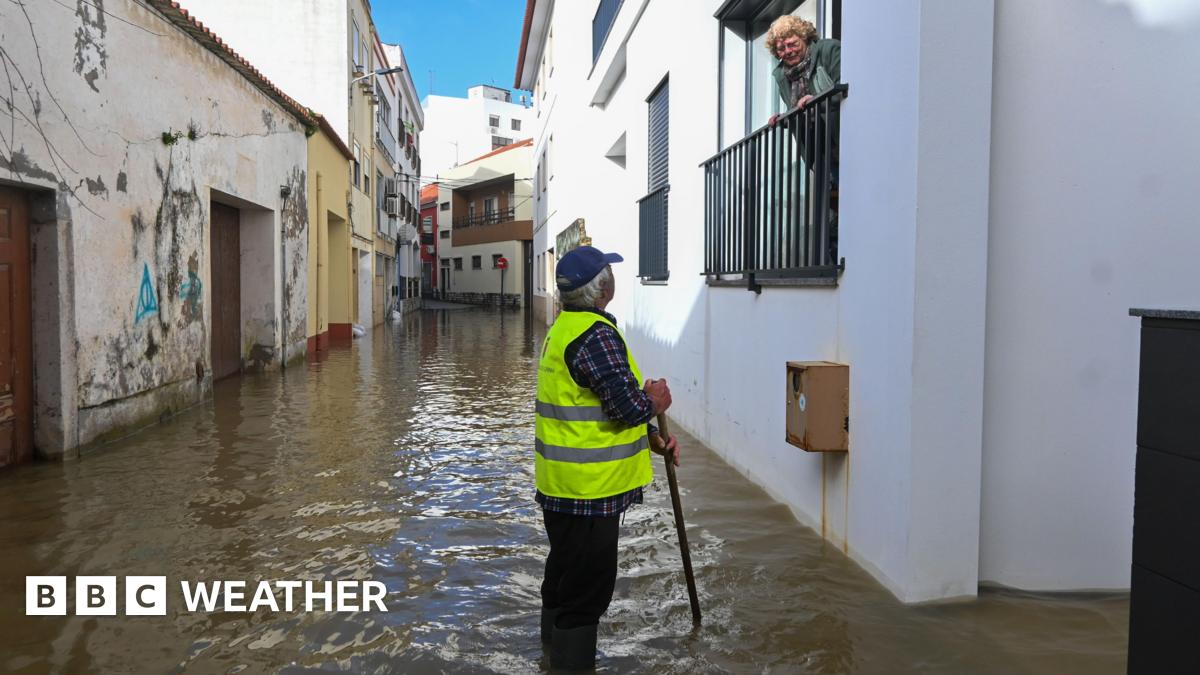
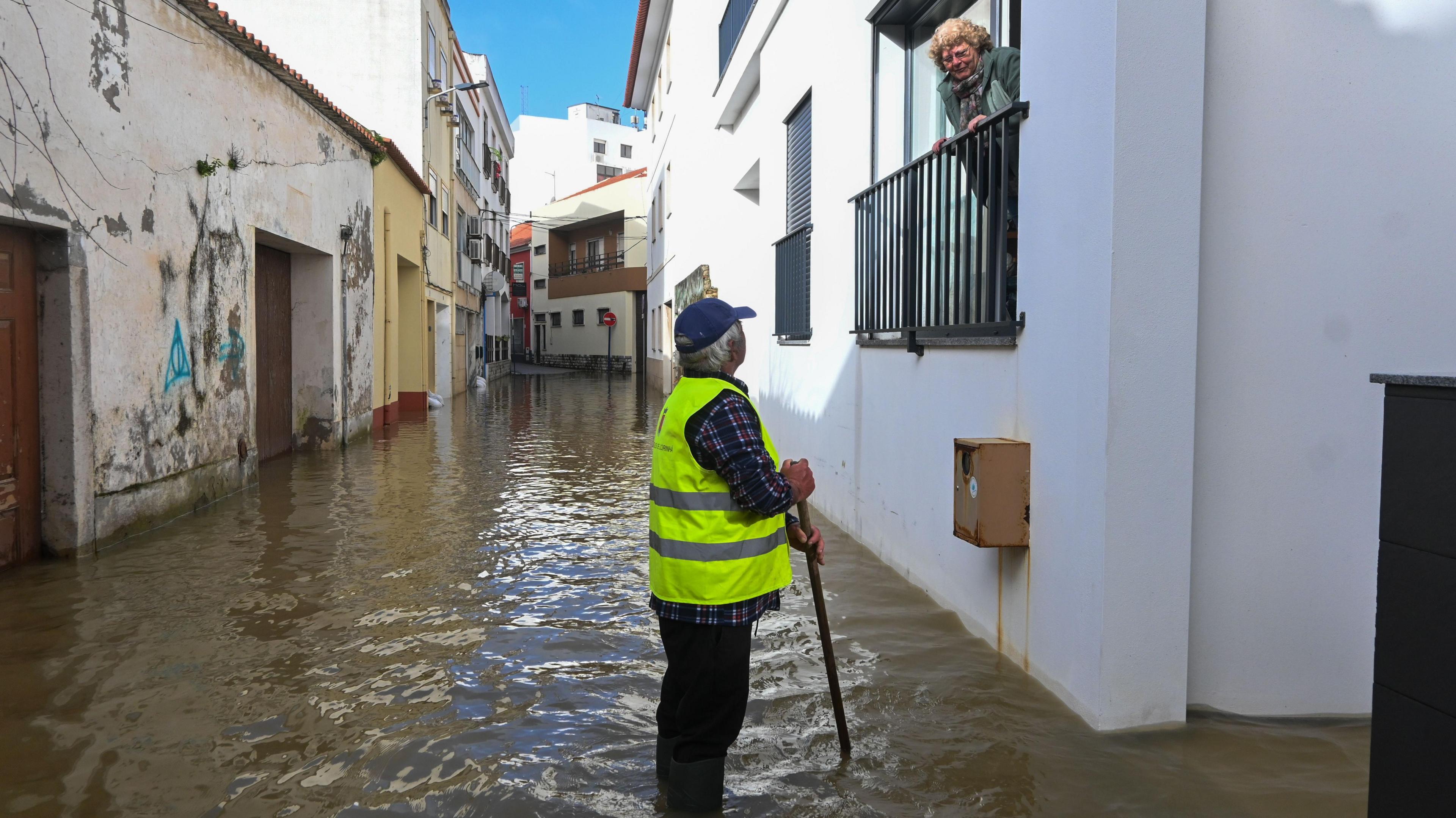
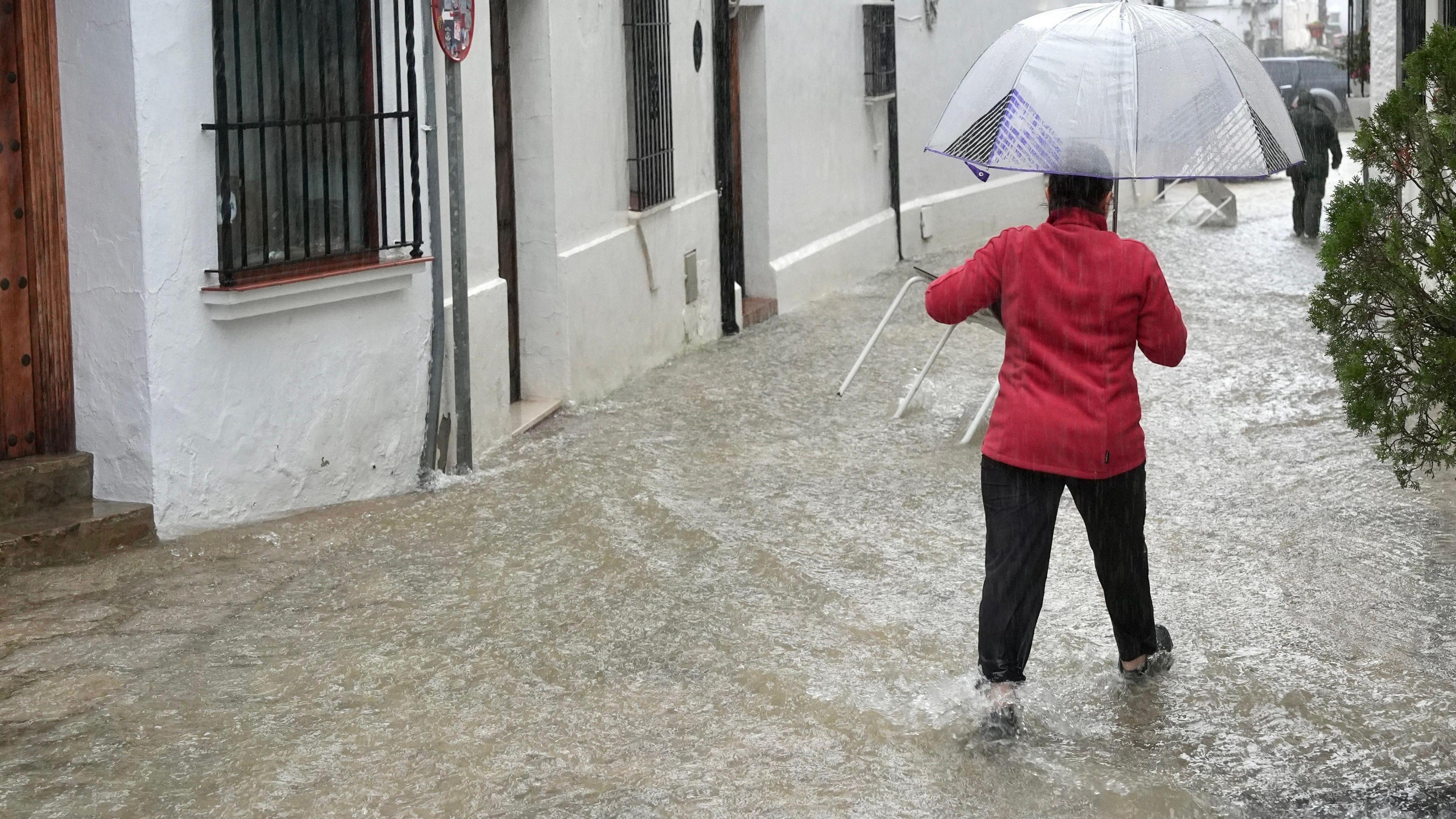
The Iberian Peninsula, particularly Spain and Portugal, has borne the brunt of relentless precipitation, experiencing some of its wettest conditions in recent memory. It is not just the UK that has been enduring some very wet weather recently, but a much broader region. In Spain, the southern region of Andalusia has been exceptionally hard hit, prompting the evacuation of approximately 3,500 people from their homes. River levels in the affected areas have surged to unprecedented highs, leading to critical situations for communities situated along their banks. The deluge has crippled local transport networks, resulting in the closure of over 100 roads due to flooding, dangerous landslides, or fallen trees. Even high-speed rail services, a vital artery for national travel, have faced suspensions, underscoring the severity of the disruption.
One location that stands out is Grazalema, nestled in the foothills of the Sierra del Pinar range. This village recorded an astonishing 672mm (26.4 inches) of rain in a mere day-and-a-half. To put this into perspective, this single event delivered almost the same amount of rainfall that London typically receives in an entire year, highlighting the extraordinary intensity of the downpours. Much of this exceptional rainfall was brought by Storm Leonardo, a powerful low-pressure system that has swept across the region. Leonardo marks the sixth major low-pressure system to strike the Iberian Peninsula since the start of 2026, indicating a relentless barrage of stormy weather. With further warnings of heavy rain, strong winds, and mountain snow remaining in place for the coming days, residents and emergency services brace for continued challenges and potential further devastation.
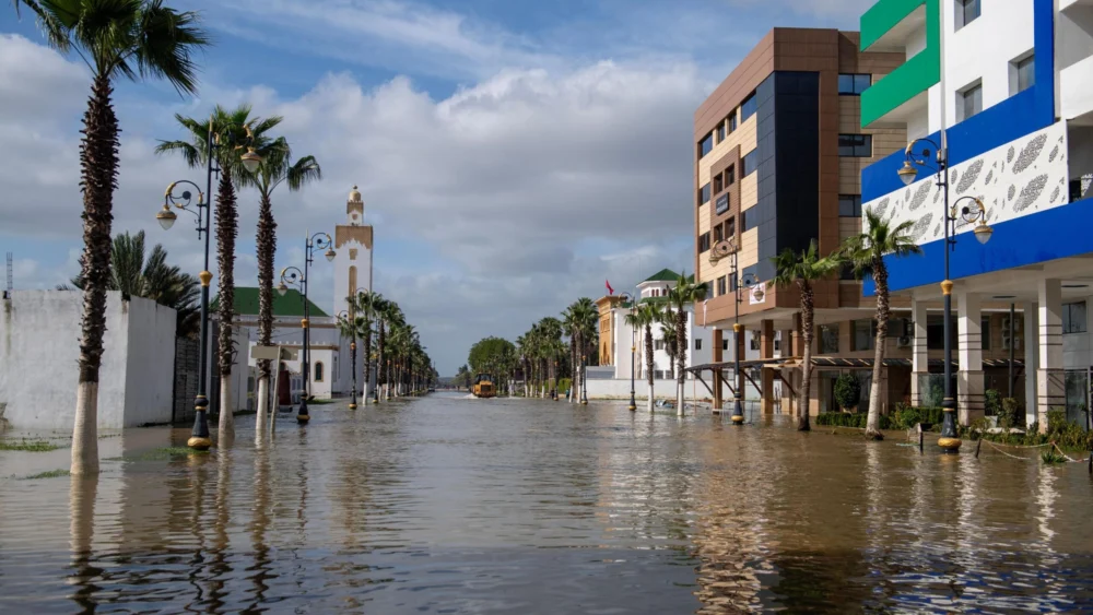
Further south, across the Strait of Gibraltar, North-West Africa has also experienced an unusually wet period. Tunisia witnessed its heaviest rainfall in over 70 years last month, a stark departure from its typical climate. Algeria too has grappled with severe weather and extensive flooding, adding to the regional crisis. However, Morocco has been particularly badly affected in recent weeks, facing a confluence of extreme weather events. The crucial port city of Tangier, a gateway between Africa and Europe, registered approximately four times its average January rainfall last month. The impact was exacerbated when more heavy rain lashed the northern regions on Wednesday, directly associated with Storm Leonardo.
The Moroccan government has mobilized its army to assist with evacuations, responding to red alerts for continued heavy rainfall. Over 100,000 people have already been evacuated from their homes, a testament to the scale of the emergency. Authorities have issued urgent appeals, urging residents of flood-prone areas in the country’s north-western plains to leave immediately. This urgency stems from the dual threat of rising inundation from persistent heavy rain and the perilous situation of swollen rivers, compounded by the controlled release of water from dams that have reached their capacity. Paradoxically, this period of exceptional rainfall has brought an end to a seven-year drought that had severely impacted Morocco, prompting accelerated investments in desalination projects to secure water resources. While the long-term replenishment of water reserves is a positive outcome, the immediate consequences of the deluge have been catastrophic for countless communities.
While the south and west of Europe have been deluged, a starkly different, yet equally severe, weather phenomenon has gripped the north-east. Scandinavia and the Baltic region have been plunged into an exceptionally deep freeze. In Lithuania, temperatures plummeted to a bone-chilling -34.3C (-29.7F) on Monday morning, marking the lowest temperature recorded in the country since 1996. Even in Lapland, where extreme cold is anticipated at this time of year, parts of northern Sweden have endured their second coldest January on record, pushing residents and infrastructure to their limits.
The persistent cold weather has extended south-eastwards into Ukraine, where temperatures in the capital, Kyiv, have dropped as low as -20C (-4F). The city has experienced only six days where the temperature has risen above freezing so far this year, meaning a continuous, unremitting freeze that challenges heating systems, transportation, and public health. This protracted cold spell across Northern and Eastern Europe has led to frozen bodies of water, including coastal ice floes in the Baltic Sea off the coast of Poland, a vivid illustration of the sustained sub-zero conditions and high pressure dominating the region.
The root cause of these contrasting and extreme weather patterns across Europe and North-West Africa lies in a stubbornly entrenched atmospheric configuration that has remained largely unchanged for weeks. A dominant area of high pressure has been stationary over Scandinavia for an extended period this year, acting as a meteorological barrier. This "blocking high" is directly responsible for the intense and prolonged cold weather experienced across North-east Europe. Its presence effectively blocks and diverts areas of low pressure and the milder, wet weather systems that typically track across the Atlantic. Consequently, the jet stream, a fast-flowing, narrow air current, has been deflected significantly further south than usual. This southward shift in the jet stream is precisely why the UK, Western Europe, and the Mediterranean region have been subjected to such prolonged and heavy rainfall. The map vividly illustrates this setup: cold air and high pressure dominate the north-east, while areas of rain, low pressure systems, and the displaced jet stream are concentrated in the south-west.

Unfortunately, cold, blocking areas of high pressure are notoriously difficult to dislodge during the winter months, meaning relief is not immediately in sight for many. North-east Europe is forecast to remain under the grip of very cold conditions for much of February. As winds strengthen in some areas, the added wind-chill factor will make the ambient temperatures feel even more brutal, increasing the risk of frostbite and hypothermia. There is also a distinct possibility that some of this intense cold air could surge towards the UK later next week, bringing with it the heightened risk of widespread frost, treacherous ice, and disruptive snow.
Concurrently, areas of low pressure will continue to funnel spells of wet and windy weather into central and southern Europe. This sustained activity will perpetuate the risk of further flooding and lead to continued damage and disruption from strong winds, stressing already strained emergency services and communities. For southern Iberia and North-West Africa, there might be a glimmer of hope on the horizon. Meteorological models suggest that an area of high pressure may begin to build across from the Canary Islands and extend towards the mainland later next week. If this materializes, it could bring some much-needed dry weather, offering a temporary reprieve from the relentless deluges. However, the longevity and stability of this potential shift in pattern remain uncertain, leaving millions across Europe and North-West Africa to face an ongoing battle against the capricious and extreme forces of nature.